


Press conference about the project commencement
28 November 2017 r.
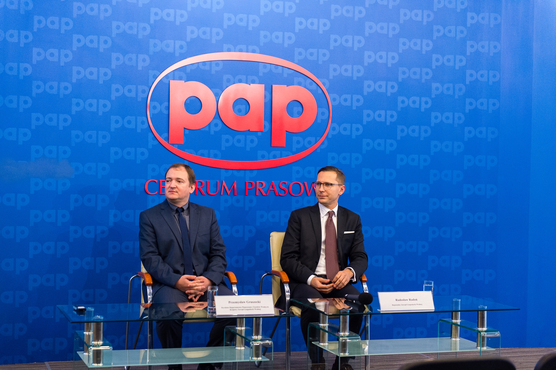
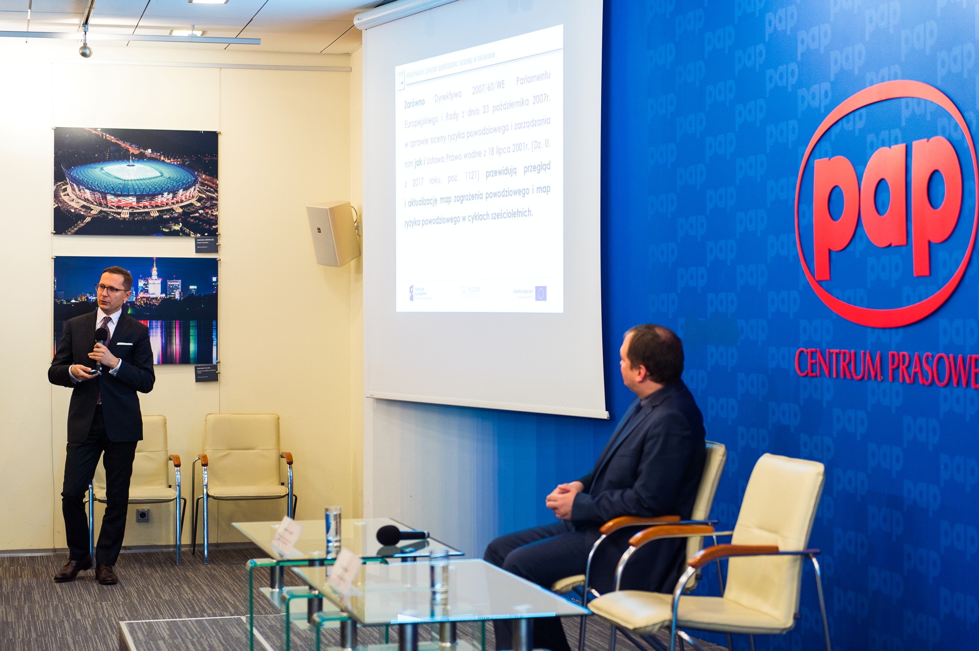
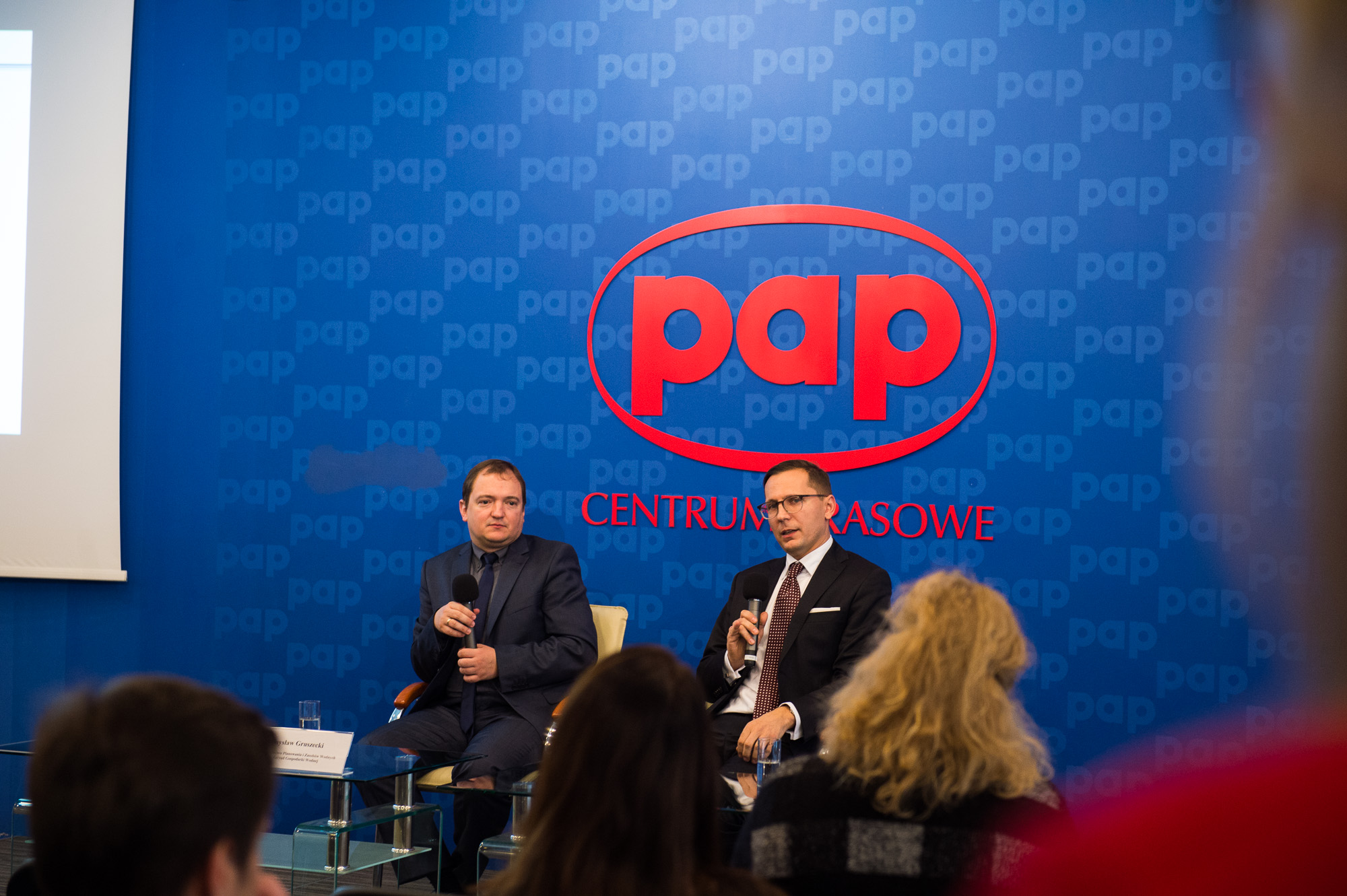 On November 27, 2017, in the Polish Press Agency at Bracka 6/8 in Warsaw, a press conference about the commencement of the project “Review and analysis of flood hazard and flood risk maps” took place.
The National Water Management Authority have started a review and update of flood hazard maps and flood risk maps. By December 22, 2019, the maps developed during the first planning cycle will be reviewed and updated, and new maps will be prepared for additional river sections. Updated maps will be used by public administration authorities in planning activities related to crisis management and land use. The maps will also be available to the public. The project is being implemented with EU funds under the Cohesion Fund. The amount of funding is 44 200 000 PLN, and the total cost of the project will be 52 000 000 PLN.
The EU Flood Directive obliges Member States to review and update hazard and flood risk maps periodically every 6 years. A review should include the risk of floods for the human health, environment, cultural heritage and economic activity.
The maps are the basis for planning of flood protection activities, as well as pursuing rational land use policy at areas of flood risk. At the same time, they contribute to reducing flood risks and the negative effects of floods.
The maps are developed for four flood scenarios. They present areas with different probabilities of floods: low – 0.2% (once per 500 years), medium – 1% (once per 100 years) and high – 10% (once per 10 years), as well as areas vulnerable to flooding in the case of damage or destruction of river embankment. In addition to the scope of flood risk areas, the maps present water depth, information about the maximum water level as well as water flow directions and water velocity. The flood risk maps include potential flood losses, the number of inhabitants at risk, as well as objects of particular economic, natural and cultural importance whose flooding can result in significant losses.
The obligation to draw up flood hazard and flood risk maps rests with the President of the National Water Management Authority . However, flood hazard and flood risk maps for sea waters, are prepared by maritime offices’ directors.
The project is aimed at reviewing and updating flood hazard maps and flood risk maps by 22 December, 2019.
The project includes a review of flood hazard maps and flood risk maps developed during the first planning cycle, identification maps of areas that need to be updated, development of flood hazard maps and flood risk maps for river sections for which preliminary flood risk assessment identified a need to draw up maps during the second planning cycle, as well as development of flood hazard and flood risk maps for river sections and flood types that will be indicated as a result of review and update preliminary flood risk assessment by 22 December, 2018.
The flood hazard maps and flood risk maps review concerns 255 rivers or river sections lying within river basin district of Wisła, Odra and Pregoła with a total length of 14 400 km.
New maps will be drawn up for at least 592 rivers or river sections lying within river basin district of Wisła, Odra, Pregoła and Niemen with length of approximately 13 000 km.
Total planned cost of the project is 55 000 000 PLN, includs the Cohesion Fund funding – 44 200 000 and funding from the State Budget – 7 800 000 PLN.
More information about the project can be found at the National Water Management Authority.