Workshops on preliminary flood risk assessment and flood hazard maps for the International Odra River Basin Area
12 April 2019 r.
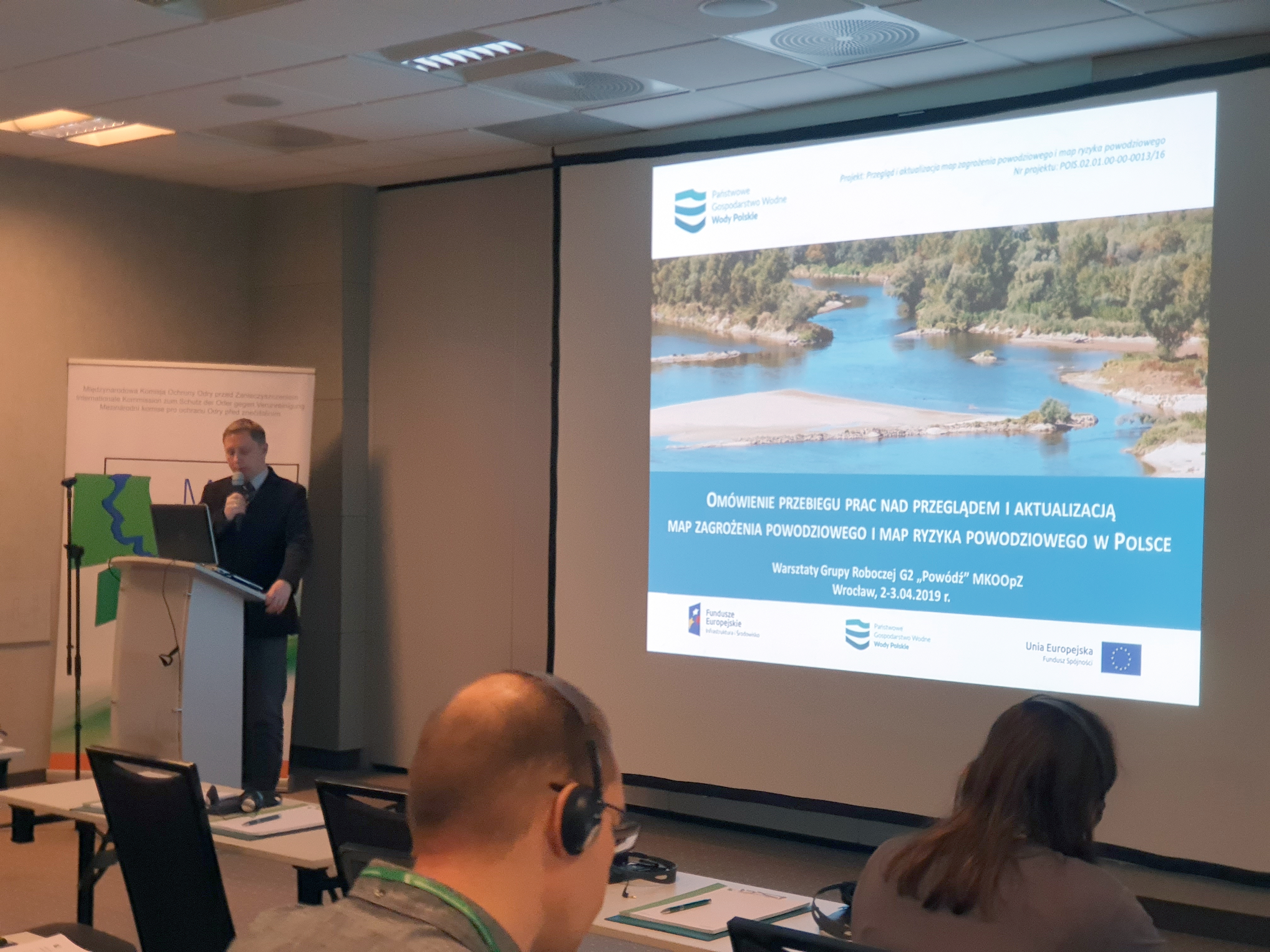
On April 2-3, 2019, Wrocław held the Working Group (G2) Workshops “Flood” of the International Commission for the Protection of the Odra River Against Contamination (MKOOpZ).
The workshops were devoted to the development of planning documents resulting from the Flood Directive, in particular, review and update of the preliminary flood risk assessment and review and update of flood risk and flood hazard maps.
The meeting gave the opportunity to exchange experiences between representatives of scientific communities and institutions from Germany, the Czech Republic, and Poland. Presentations focused on modelling and forecasting of floods and droughts. The hosts were represented by, among others, representatives of the Ministry of Maritime and Inland Shipping (MGMiŻŚ) and the Polish Waters (PGWWP). During her presentation, Agnieszka Śliwa (PGWWP) informed the participants about the process of developing update of the preliminary flood risk assessment (aWORP) for the International Odra River Basin Area. This database has been built on the basis of 135 studies. In the process of surveying, the questionnaire in the form of an Internet portal and a traditional paper questionnaire was sent to 3645 entities, including 2792 local government units; 88% of the entities returned completed questionnaires. Areas of significant risk of flood (ONNP) were also identified. After the analysis, areas of significant risk of flood (ONNP) were determined for: river floods due to natural swelling; floods due to destruction or damage of damming structures; sea floods, including form internal maritime waters. In the case of river floods, a total of 29 301.7 km of rivers were defined as areas of significant risk of flood (ONNP). Floods in selected areas of significant risk of flood (ONNP) concerning the destruction/damage to damming structures cover 26 damming tanks, of which 10 is located in the Odra river basin. Areas of significant risk of flood (ONNP) from the sea, including maritime internal waters, cover 1104.5 km of near-sea rivers/stretches of coastline, including the Odra river basin .
Detailed results of the above-mentioned works have been published at the following links:
https://www.wody.gov.pl/nasze-dzialania/wstepna-ocena-ryzyka-powodziowego
http://www.powodz.gov.pl/pl/biblioteka_mapy
https://isokmapy.kzgw.gov.pl/imap_kzgw/?gpmap=gpWORP
|
Agnieszka Śliwa, Head of the Department of Protection against Floods and Drought PGWWP KZGW |
|
Marcin Gil, Senior Specialist of the Department of Protection against Floods and Drought PGWWP KZGW |
|
left: Piotr Barański, Director of the Secretariat of the International Commission for the Protection of the Odra River against Contamination (MKOOpZ), |
|
middle: Bartłomiej Pietruszewski, Deputy Director, Drought and Flood PGWWP RZGW Wrocław |
Description of the works under review and update of flood risk and flood hazard maps (MZP and MRP) was presented by Marcin Gil (PGWWP). Maps for 255 rivers or sections of rivers with a total length of 14.4 thousand km. were reviewed. As a result, 6.7 thousand km. of rivers covered by flood hazard maps and all flood risk maps drawn up in the first planning cycle were classified for review. Flood hazard maps are updated based on the following criteria for the significance of changes in the level of flood hazard: new investments, authorities’ opinions, verification of input data, changes in methodology assumptions in the field of hydrology and hydraulic modelling. As part of the update of the preliminary flood risk assessment done in 2018 significant flood risk, and thus the need to develop flood risk and flood hazard maps, was identified for 14.9 thousand km. of rivers. In total, flood hazard maps will be developed or updated for 21.6 thousand km. of rivers, while flood hazard maps for 29.1 thousand km. of rivers. As a result, flood risks and flood hazard maps will be developed in the scenario of damage or destruction to damming structures for 26 reservoirs important from the point of view of flood protection. In addition, directors of maritime offices will develop flood risk and flood hazard maps for the entire coast and internal waters.
The current flood risk and flood hazard maps are available at ISOK map portals:
https://isokmapy.kzgw.gov.pl/imap_kzgw/?gpmap=gpMZP
https://isokmapy.kzgw.gov.pl/imap_kzgw/?gpmap=gpMRP
and as PDF files on the website publishing flood risk and flood hazard maps:
Presentations from the workshops in the form of PDF files are available at http://mkoo.pl, in the “event” tab.


